| |||
|
|
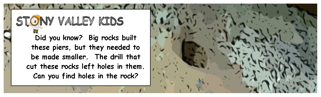
Top Ten Historic Sites in Stony Valley & Surrounds  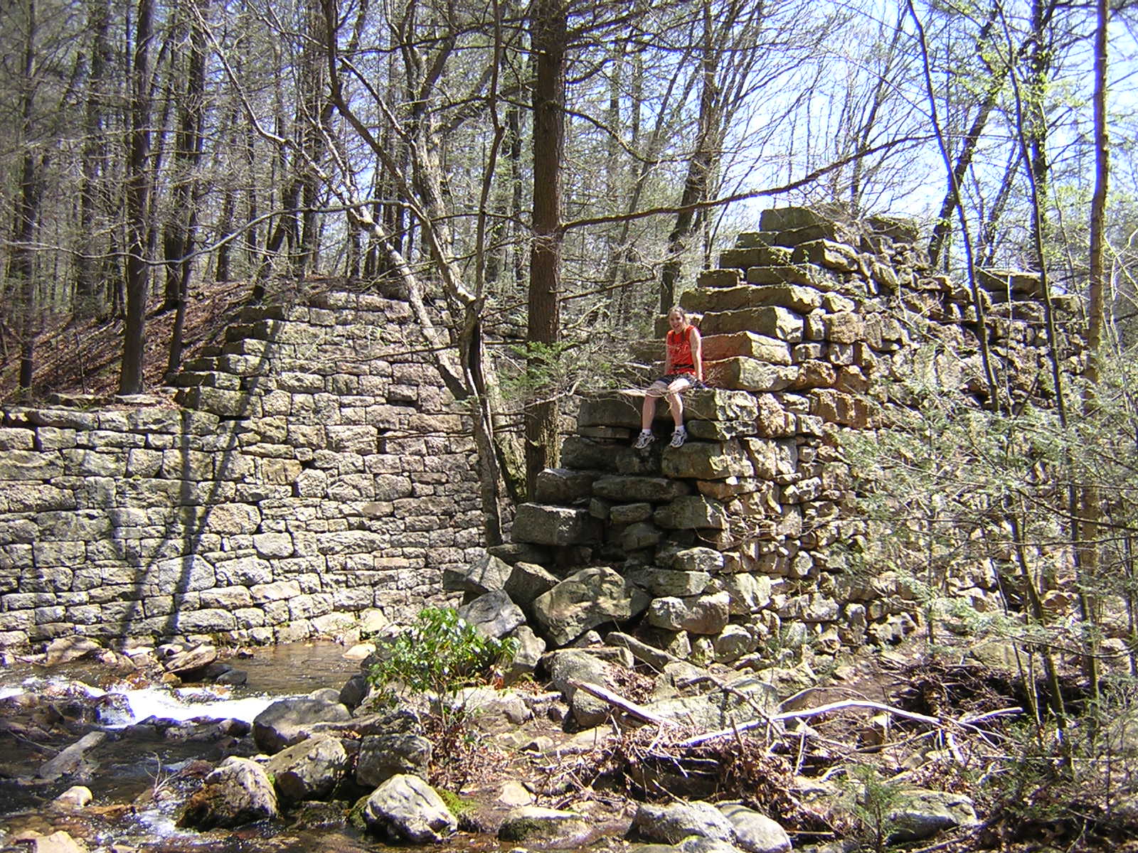 Bridge piers for Summit Siding next to Gold Mine Run (Left) and Rausch Creek (Right). Photographs by Annette (Watts) Logan The original line of the Dauphin & Susquehanna Railroad was constructed from 1850-1852 from Dauphin to Gold Mine. In order to cross Rausch Creek and Gold Mine Run large bridge piers were constructed on either side of the creeks. These bridges were constructed entirely by hand and a crude new hoisting machine and presumably without the use of mortar. The rocks were taken from the town rock quarries, and drill marks can still be found in these stones today.
When the railroad was finally constructed to Auburn, Schuylkill County in 1854, the original line from Rausch Gap to Gold Mine was made a siding dubbed either the Gold Mine Siding or more commonly Summit Siding (since Rausch Gap, where this new siding joined the mainline, was the highest mark on the western end of the railroad). The steam trains carrying coal from the Gold Mine and Rausch Gap collieries continued into the 1860s, when the siding was finally taken out.
By the time motorized vehicles appeared, Summit Siding was used to haul out truckloads of coal from bootleg (or illegal) mining operations during the Great Depression.
The walk to the first of the bridge piers at Gold Mine Run is suggested as a "Stony Valley Kids Friendly Hike," whereas the trip to Rausch Gap should be reserved for older children.
Use State Game Lands #211 Map 2 of 3 and 3 of 3
| ||
StonyValley.com was created and is maintained by Schuylkill & Susquehanna Railroad Historian, Brandy M. Watts Martin. Copyright 2013. | |||


 DIRECTIONS: Park at the