| ||||||
|
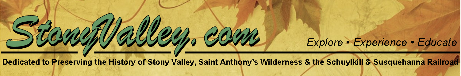
Stony Valley Rail-Trail The Stony Valley Rail-Trail is a safe and family-friendly way for everyone to explore Stony Valley, and surround themselves with nature. History can easily be found underneath your feet and next to the pathway. To get around, mountain bikes, horses, walking strollers and wagons can easily be used on the rail-trail, as well as just walking by foot. To help you to discover some of the more remote locations along the rail-trail, please use this map as your online guide. Many of the map locations have photographs, which will give you more information about the rail-trail. Those locations are marked with a camera on the Mileage Chart. In order to easily get to these locations, we have included links to these locations on Google Maps, allowing you to enter directions from your house to these locations. For use on the trails in Stony Valley, please use the State Game Lands #211 maps, numbered 1 through 3, or the Weiser State Forest map, which have more accurate mileage and terrain upon.
wilderness, visit the Experience... Nature and Educate... History pages.
| |||||
StonyValley.com was created and is maintained by Schuylkill & Susquehanna Railroad Historian, Brandy M. Watts Martin. Copyright 2013. | ||||||


 0.0 Miles - Ellendale Gate
 9.0 Miles - Yellow Spring
 13.5 Miles - Rausch Gap
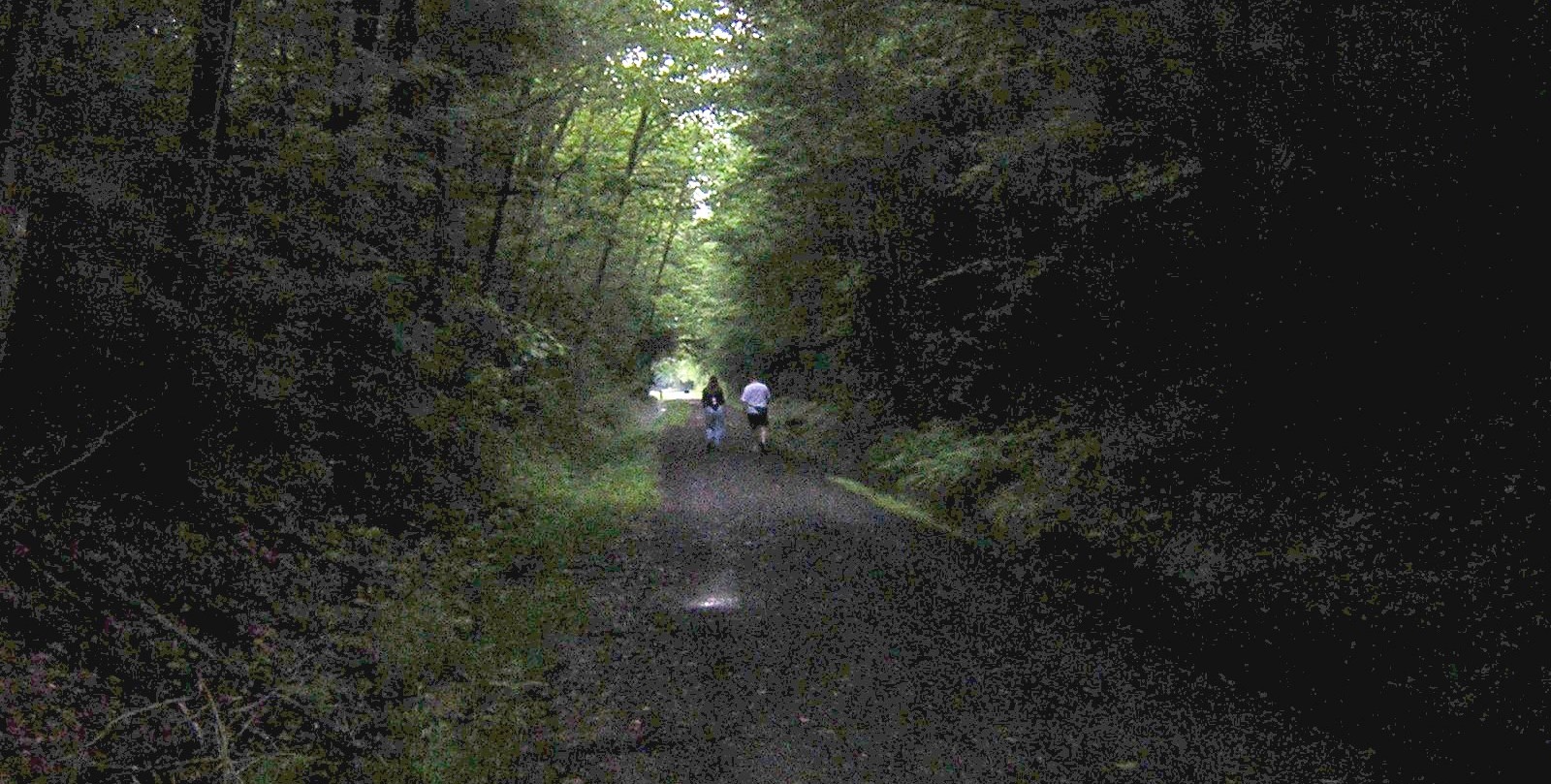 17.0 Miles - Gold Mine Gate
 19.0 Miles - Reservoir
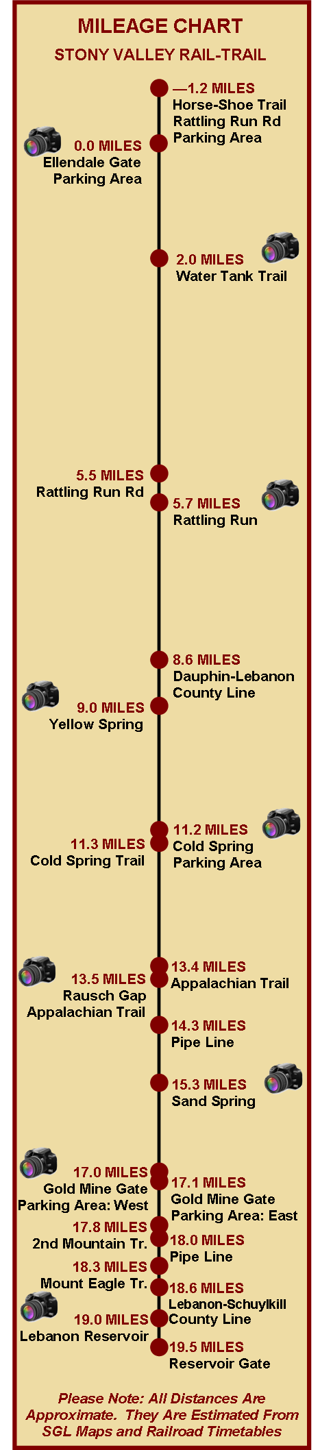
 2.0 Miles - Water Tank Trail
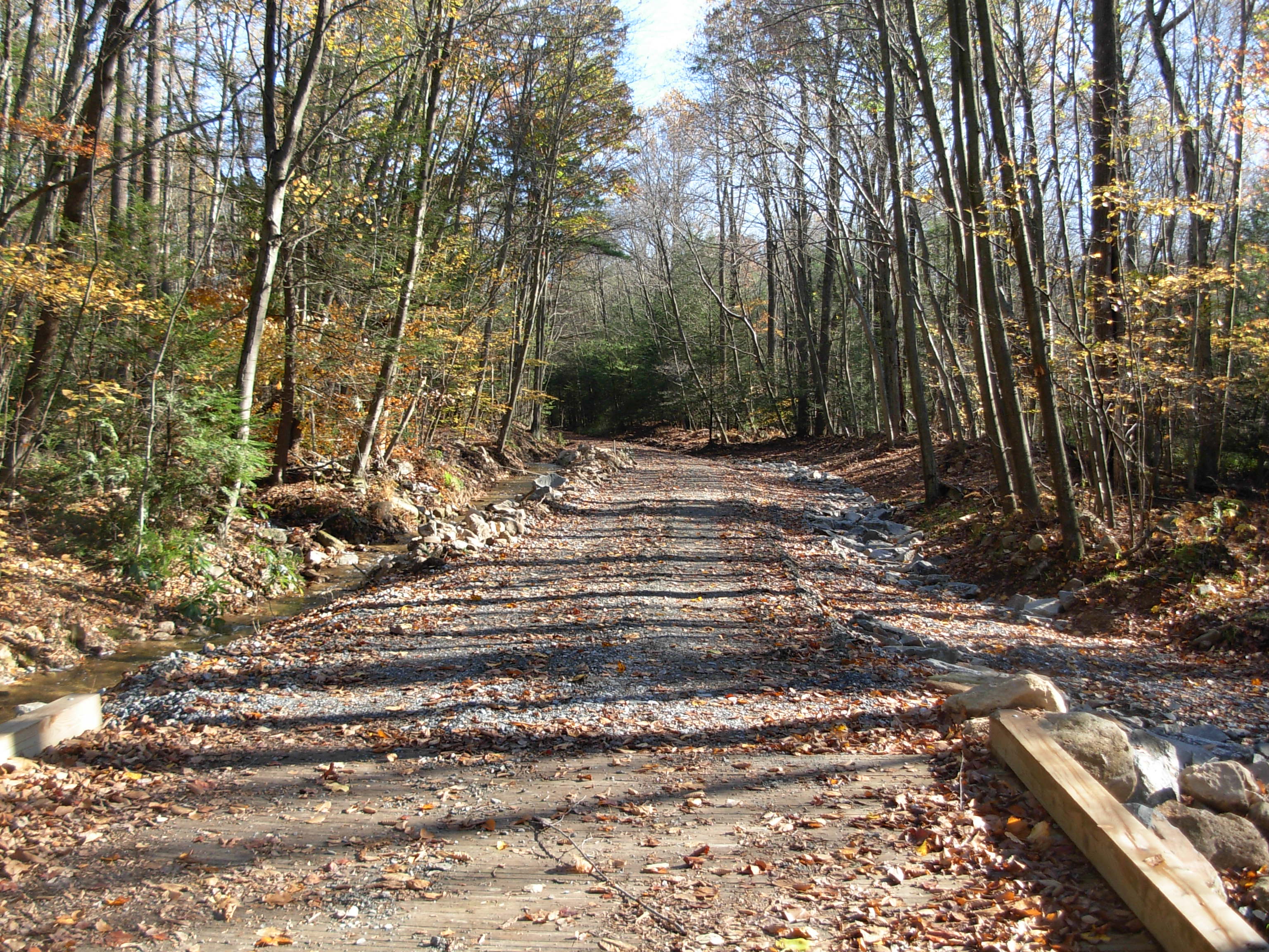 5.7 Miles - Rattling Run
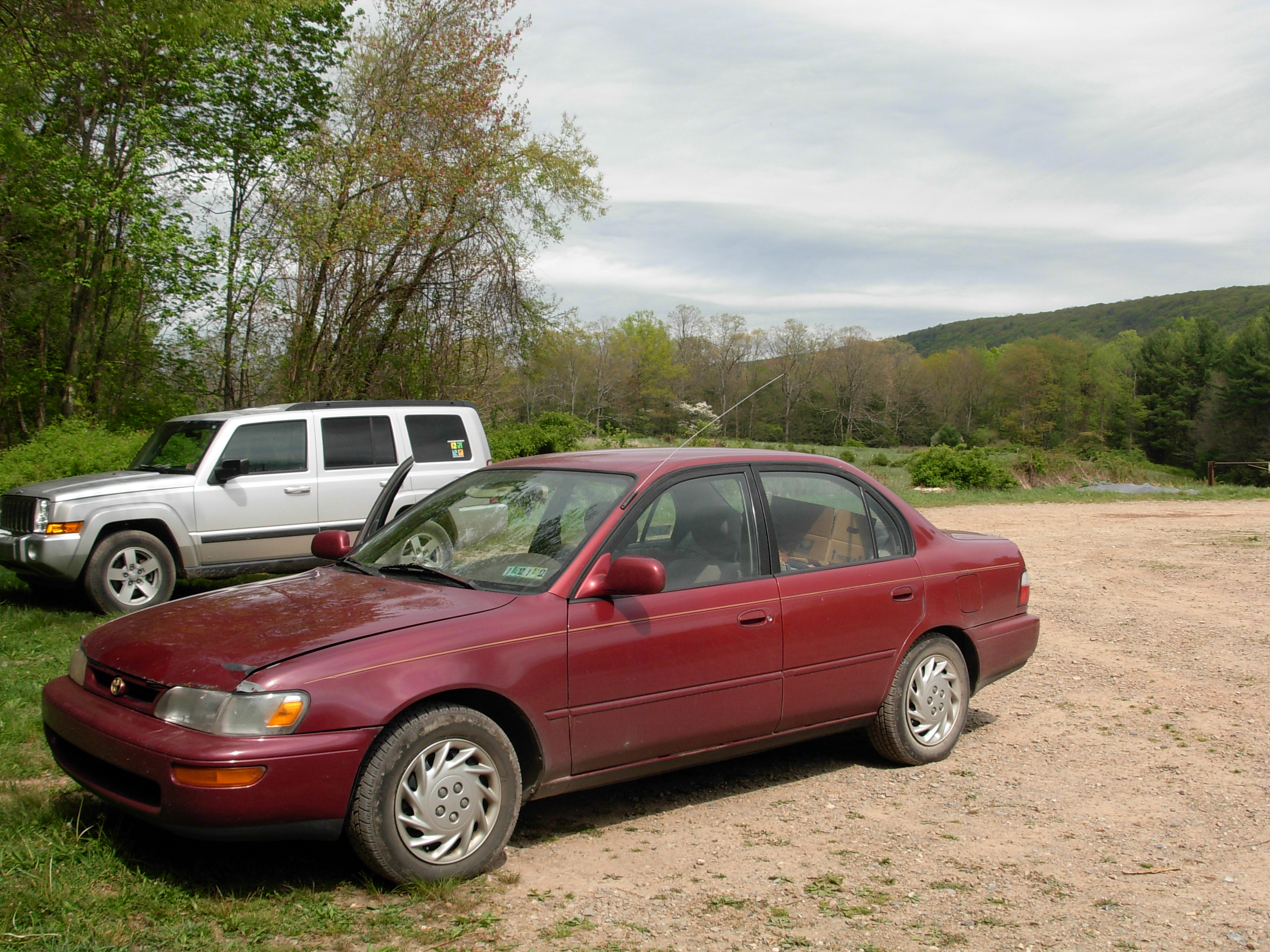 11.2 Miles - Cold Spring
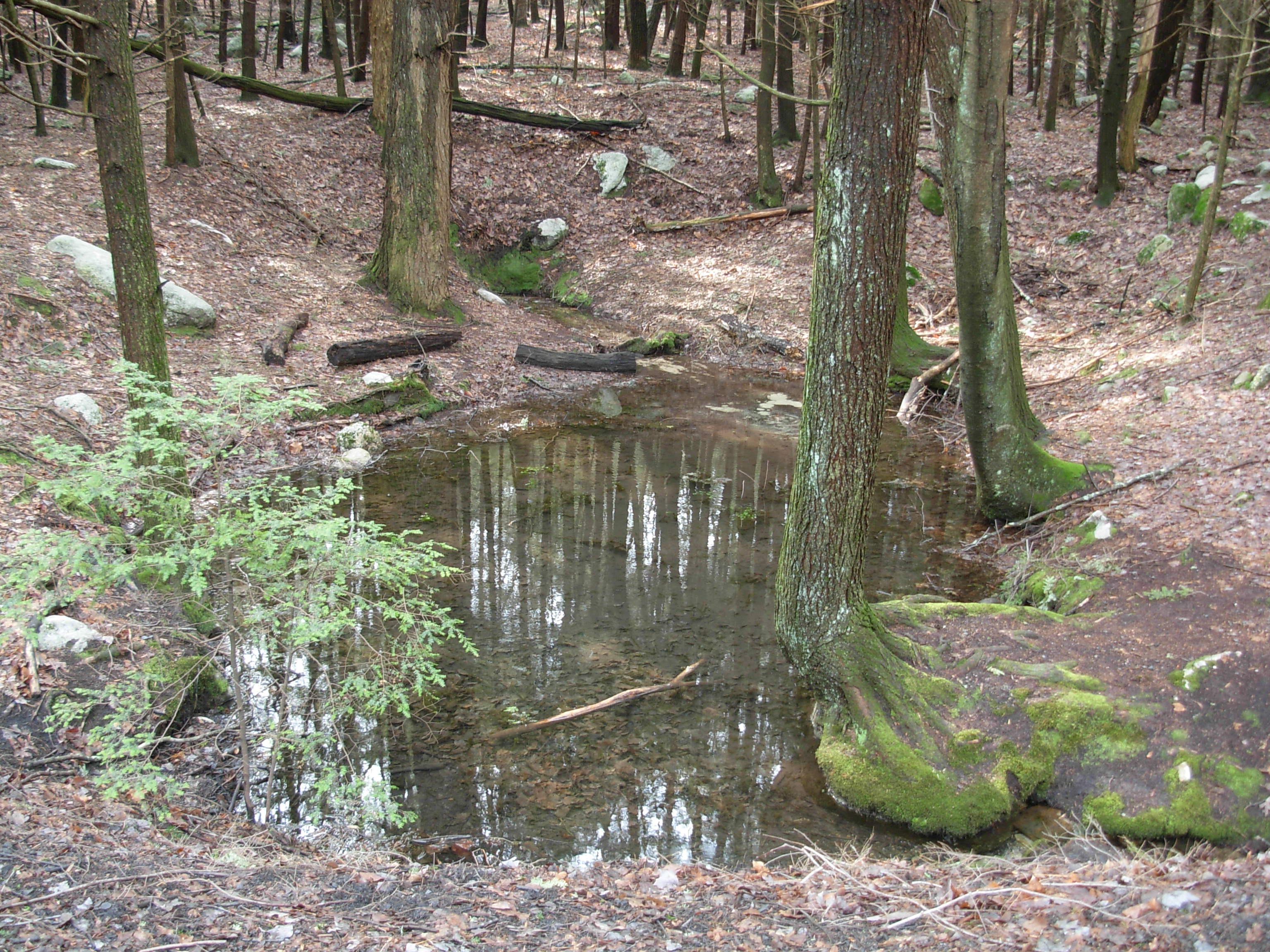 15.3 Miles - Sand Spring